

The Environmental Health Research Centre, together with the Department of Engineering and the Erasmus Office at the University of Nicosia, is offering a two-day workshop titled “Introduction to QGIS software and watershed delineation using the digital elevation model from SRTM/NASA”.
The workshop will be delivered by Dr David de Andrade Costa (Instituto Federal Fluminense – IFF, Rio de Janeiro, Brazil) and Prof Antonio J. Silva Neto (Department of Mechanical Engineering, Polytechnic Institute, Rio de Janeiro State University, Rio de Janeiro, Brazil).
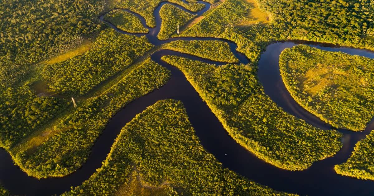
The use of hydrological modelling in environmental applications requires the choice of the study area, usually a river basin. A watershed is recognized as the best place for planning and management of waters, and it is usually a land area that channels rainfall and snowmelt to creeks, streams, and rivers, and eventually to outflow points such as reservoirs, bays, and the ocean. Its delineation can be performed using a digital elevation model and geoprocessing techniques. This workshop will address the concepts that are required for watershed delineation. A practical activity will be held in the QGIS software (www.qgis.org/) by using the digital elevation model from the Shuttle Radar Topography Mission (SRTM)/NASA.
Requirements
- Registration for the workshop;
- The workshop is intended for undergraduate and postgraduate students in the areas of Science and Engineering;
- Basic computer knowledge.
Language of the workshop
English
Program
27 June 2022, 14:00-18:00 – Presentation, supervised practical activity
28 June 2022, 14:00-18:00 – Individual practical activity (each participant can define their own study region)
Certificate of Attendance
All participants will receive a certificate of attendance.
In case you can no longer attend the workshop in person, please email us at [email protected]
Presenters

Dr David de Andrade Costa
Instituto Federal Fluminense (IFF)
")
Prof. Antônio J. Silva Neto
Department of Mechanical Engineering and Energy,
Polytechnic Institute
Rio de Janeiro State University
Registration is now closed.